
Access the largest US terrestrial dataset to run machine learning that provides real value to your customers and users.
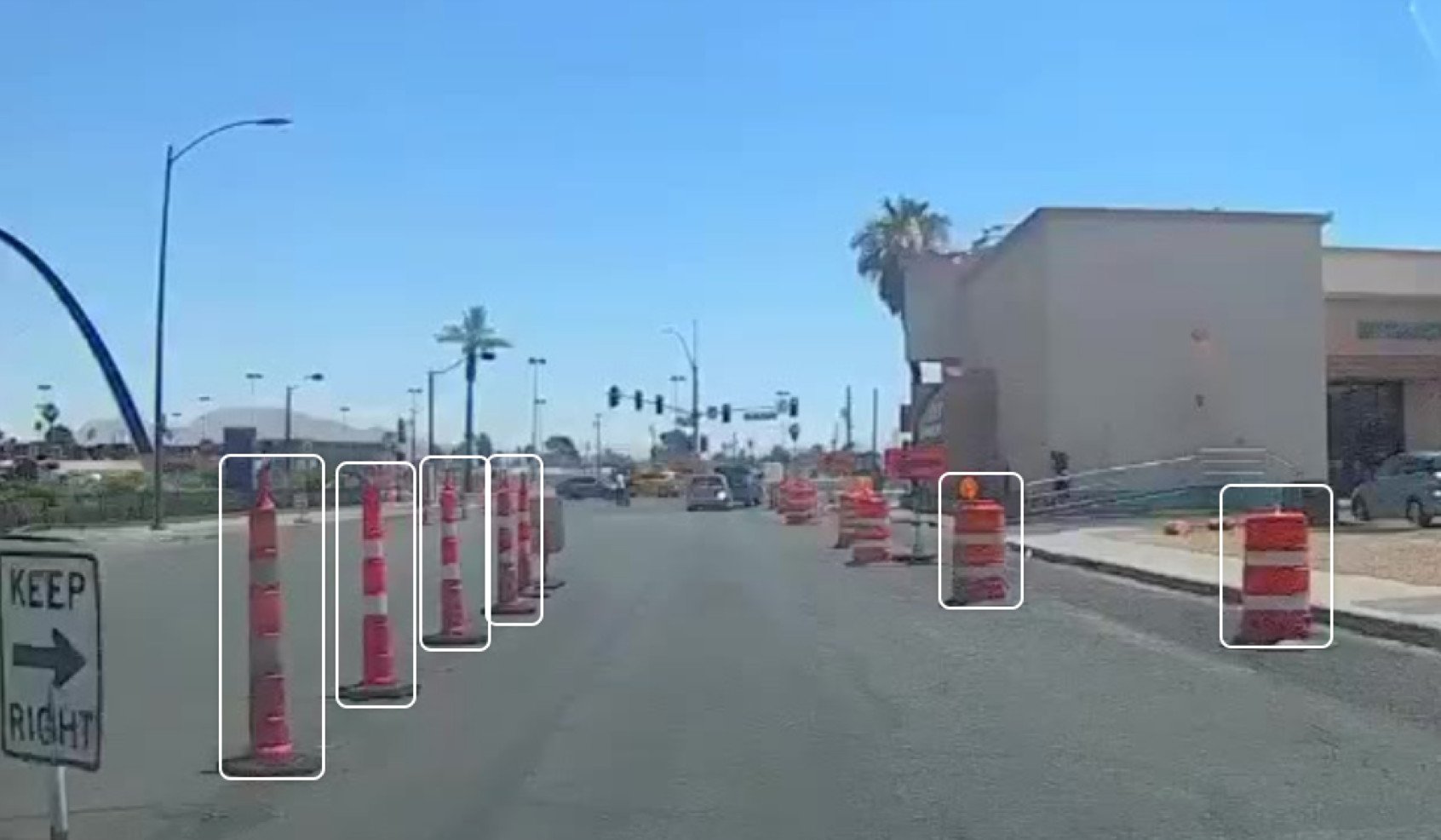
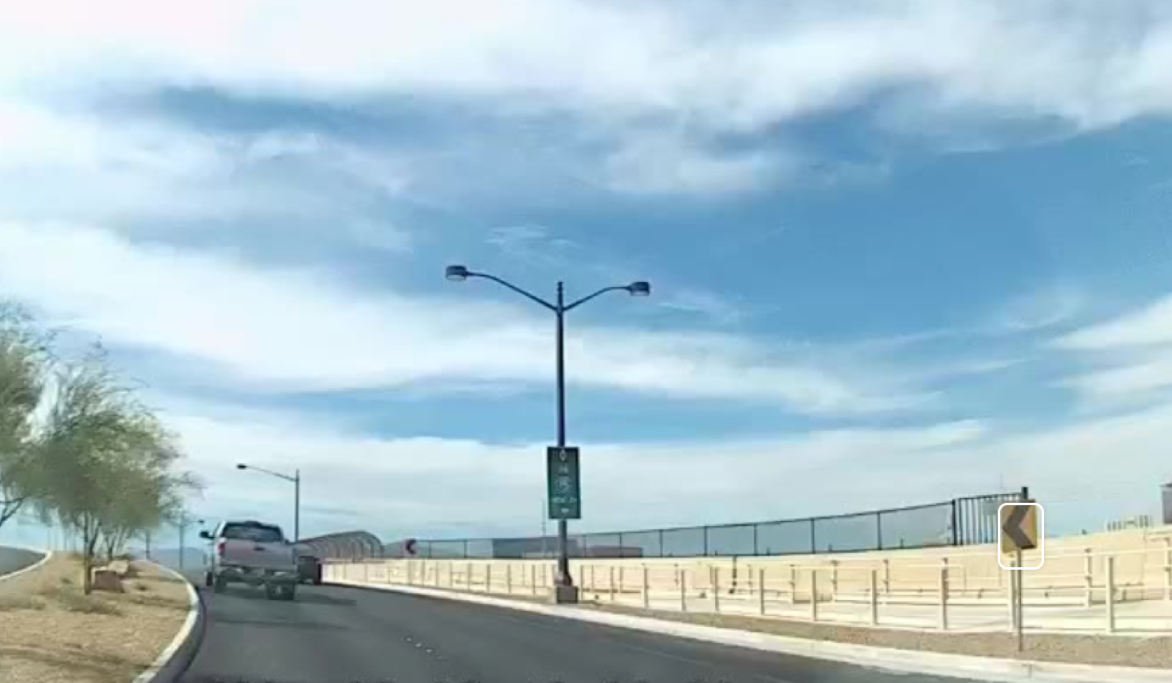
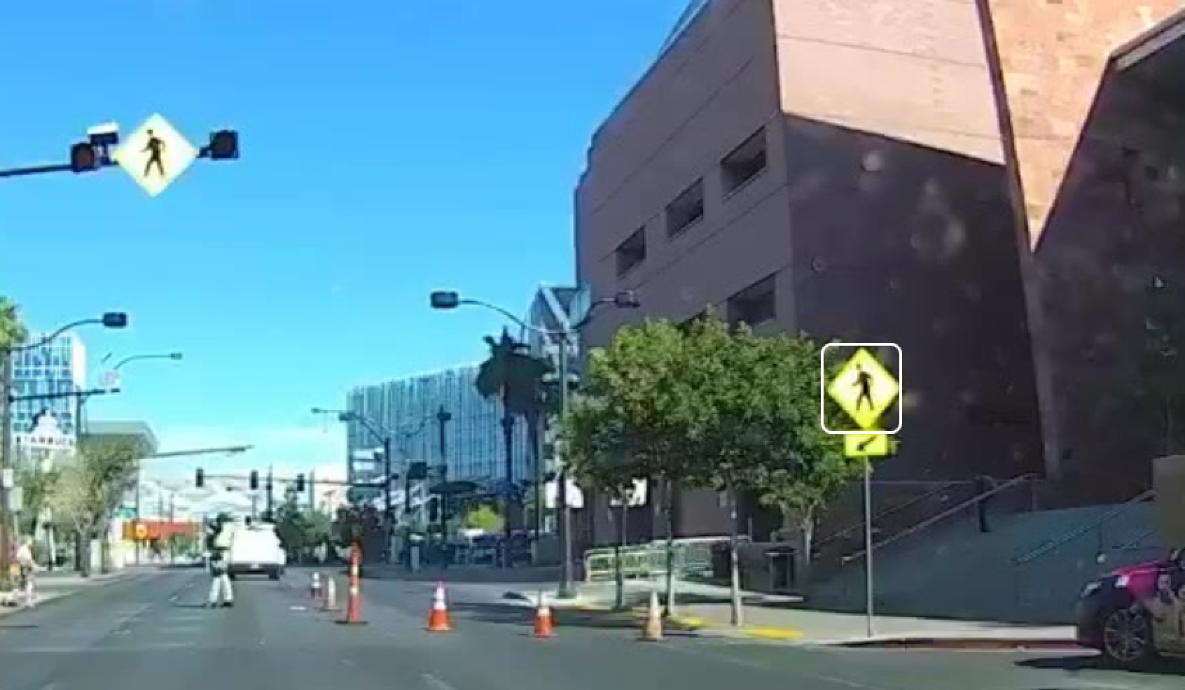
Partnering with Nexar presents a unique opportunity to grow coverage and detections, with diverse imagery containing street signs and furniture, potholes, guard rails, sidewalks, tree canopies, utility infrastructure and more.
With monthly coverage of 130 million miles per month of crowd-sourced street-level visual data and 3.2 trillion images from the road, you can now overcome the data scarcity gap and build your business on Nexar's data.
Speak to one of our experts - Fill in the form today!
Our Partners: